Training school programme
The training school will last five days and consists of three distinct blocks (described in detail below), in which participants will learn how to code in the R programming language, query data from the ARIADNE Knowledge Base, and analyse them using various spatial analysis methods, especially point pattern analysis.

1. R programming & general topics
R is a programming language and environment for statistical computing and graphics. This block focuses on equipping participants with essential coding skills in R and introducing fundamental concepts in data analysis and visualisation.
1.1 Introduction to R and workflows
An introductory course to R. Anyone with minimal or no prior experience with R will be able to understand what is happening in the code and write or adapt existing code for their use case.
1.2 Data analysis and visualisation in R
Through hands-on workshops, participants will learn the basics of data manipulation with the dplyr package and data visualisation with the ggplot2 package, as well as some basics of base R. This will provide them with a powerful set of tools to analyse and visualise data.
1.3 Introduction to spatial data in R
Participants will learn how spatial data are represented in R, focusing particularly on vector data as simple features in the sf package and raster data in the terra package. We will also cover various operations with geographic data, including reprojection, geometry operations, etc. An integral part of the workshop will be creating maps in R.
1.4 Reproducibility and good practices in data and code management
In the final block, we will explore good practices in data management and code design aimed at enhancing reproducibility and reusability. Although these practices will be promoted throughout the school, we will summarise and contextualise them within the larger framework of Open Science at the end of the workshop.
2. ARIADNE data
The ARIADNE infrastructure aggregates and integrates large amounts of archaeological data worldwide. The second day of the summer school will focus on how the data are represented in the ARIADNE Knowledge Base (ARIADNE KB) and how to access them.
2.1 ARIADNE & AO-Cat Ontology
We will begin by exploring the ARIADNE Portal, a catalogue interface to the ARIADNE KB. After gaining an understanding of how data look in the ARIADNE Portal, we will delve deeper into how data are represented in the ARIADNE KB, from the general concept of linked-open data to semantic data in RDF. Finally, we will explore the AO-Cat Ontology, which will provide a basis for querying the knowledge base.
2.2 Introduction to SPARQL
SPARQL is a query language for semantic data in RDF. Participants will learn the basics of SPARQL, including query structure and components, etc. Practical examples of queries performed on the ARIADNE SPARQL endpoint will help us understand the capabilities of the query language.
2.3 Querying the ARIADNE SPARQL endpoint
In the workshop, participants will utilise their knowledge of the AO-Cat ontology and SPARQL to query the ARIADNE KB. By the end of the day, they will be able to create and adapt various queries to retrieve data from the ARIADNE KB for further analysis and re-use.
3. Spatial analysis
Building upon the foundational knowledge gained in the previous blocks, this segment delves deeper into spatial analysis. Participants will learn advanced analytical methods, including point pattern analysis and other statistical modelling techniques for spatial data. Through practical exercises, they will gain hands-on experience in analysing spatial data in R, exploring various spatial analysis methods, and applying these techniques to analyse the ARIADNE data.
3.1 Analysing spatial data in R
This session focuses on hands-on experience in working with spatial data in R, particularly using the packages sf and terra. We will practice reading, writing, manipulating, exploring and visualising spatial data in both vector and raster formats.
3.2 Advanced spatial analysis methods
We will explore sophisticated spatial analysis methods beyond the basics. Topics may include spatial interpolation, spatial regression, cluster analysis, etc. This will provide a foundation for deeper insights into complex spatial patterns and relationships within archaeological datasets, especially the ARIADNE data.
3.3 Analysing ARIADNE data in R
Our ultimate goal is to analyse archaeological data sourced from the ARIADNE Knowledge Base in R to gain meaningful insights into past human behaviour and settlement patterns. In the previous blocks, we were able to query and extract data from the ARIADNE KB. We will proceed by integrating such data with other local datasets and performing spatial analysis tasks using R packages such as sf, terra, stars, and spatstat.
Keynote lecture
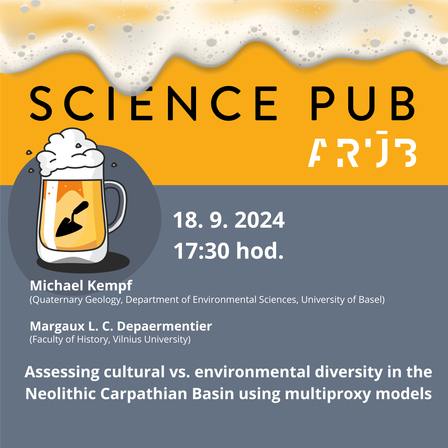
The keynote lecture by Michael Kempf and Margaux Depaermentier will take place on Wednesday, 18th September at 5:30 pm as part of the Science Pub lecture series at the institute, followed by a social event.
Assessing cultural vs. environmental diversity in the Neolithic Carpathian Basin using multiproxy models
Michael Kempf and Margaux Depaermentier
Stable carbon and nitrogen isotope analysis from archaeological human and animal bone collagen is a powerful tool to enlighten past socio-agricultural systems and their close links to environmental conditions. To assess whether isotopic patterns are a function of cultural behavior or rather determined by environmental diversity, we test the spatio-temporal effects of conditional and multivariate exploratory and environmental models on stable isotope variability in the Neolithic and Chalcolithic Carpathian Basin (6000-2700 BCE).